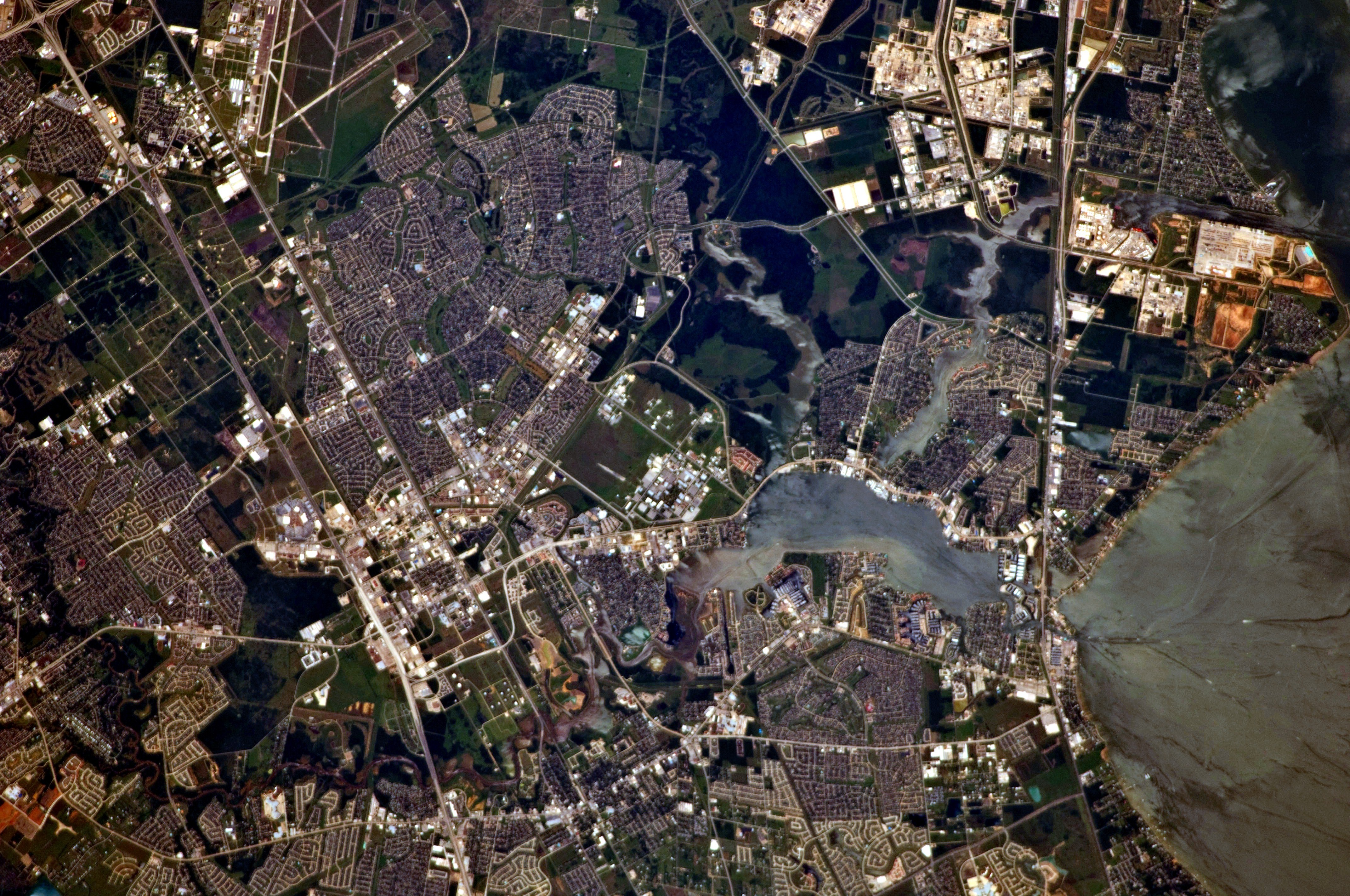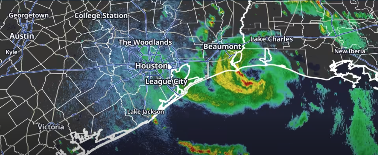
Tropical Storm Edouard was closing in on the Texas-Louisiana border Tuesday, Sept. 1, with 50 mph sustained winds and a flash flood threat stretching across the Clear Lake area, including Seabrook, Webster, Nassau Bay and Clear Lake Shores.
The National Hurricane Center's 1 p.m. CDT advisory placed the storm about 25 miles southeast of Port Arthur. Edouard was moving northwest at 8 mph and expected to make landfall shortly, according to the NHC bulletin.
A hurricane watch issued earlier Tuesday was discontinued by the 1 p.m. advisory. A storm surge warning was also dropped and replaced with a coastal flood warning. A tropical storm warning remained in effect from Port Bolivar to the Vermilion/Iberia Parish Line in Louisiana.
A flood watch remained active for Harris and Galveston counties through Wednesday morning, Sept. 2, covering the Clear Lake area communities.
Heavy rain is the main threat
The NHC forecast 3 to 6 inches of rain across the upper Texas coast, with isolated totals up to 9 inches. Rainfall rates could hit 3 to 4 inches per hour in the heaviest bands, CW39 reported.
The greatest flood risk falls east of Interstate 45, including Chambers, Liberty, Jefferson and parts of Galveston counties, according to the Houston Chronicle.
The NWS Houston office said Tuesday that heavy rain remained the primary local threat. Tropical-storm-force winds up to 40 mph were also possible, with gusts reaching 50 mph near the coast.
The NHC also warned that a tornado or two was possible Tuesday afternoon and evening across parts of southeast Texas and southwest Louisiana.
NWS Houston urged drivers to stay off roads Tuesday evening and overnight, warning that floodwater is nearly impossible to see after dark.
State and county preparations
Gov. Greg Abbott said at a press conference Monday, Aug. 31, that flooding was the biggest expected problem. More than 1,500 state personnel were activated along with aircraft and high-water rescue boats, KPRC 2 reported.
"Some local rainfall may be as high as 10-15 inches, some could be 3-4 inches per hour," Abbott said Monday. "The most intense rainfall is expected to be in and around the Harris County area."
The Harris County Sheriff's Office warned on X on Tuesday that drivers who encounter high water should turn around, calling it not worth the risk. HCSO directed residents to ReadyHarris for updates and Houston TranStar for road conditions.
Galveston County Emergency Management Coordinator Jesse Ryholt told KPRC 2 on Monday that residents should have emergency kits and plans ready, including keeping hard copies of important documents and securing loose outdoor items.
What's next
The NHC described Edouard as a small, compact storm with tropical-storm-force winds extending only 25 miles from its center. Rapid weakening is expected after the center moves inland over southeast Texas Tuesday night.
The next full NHC advisory was scheduled for 4 p.m. CDT Tuesday. Residents can monitor updates from the NWS Houston office and the National Hurricane Center.