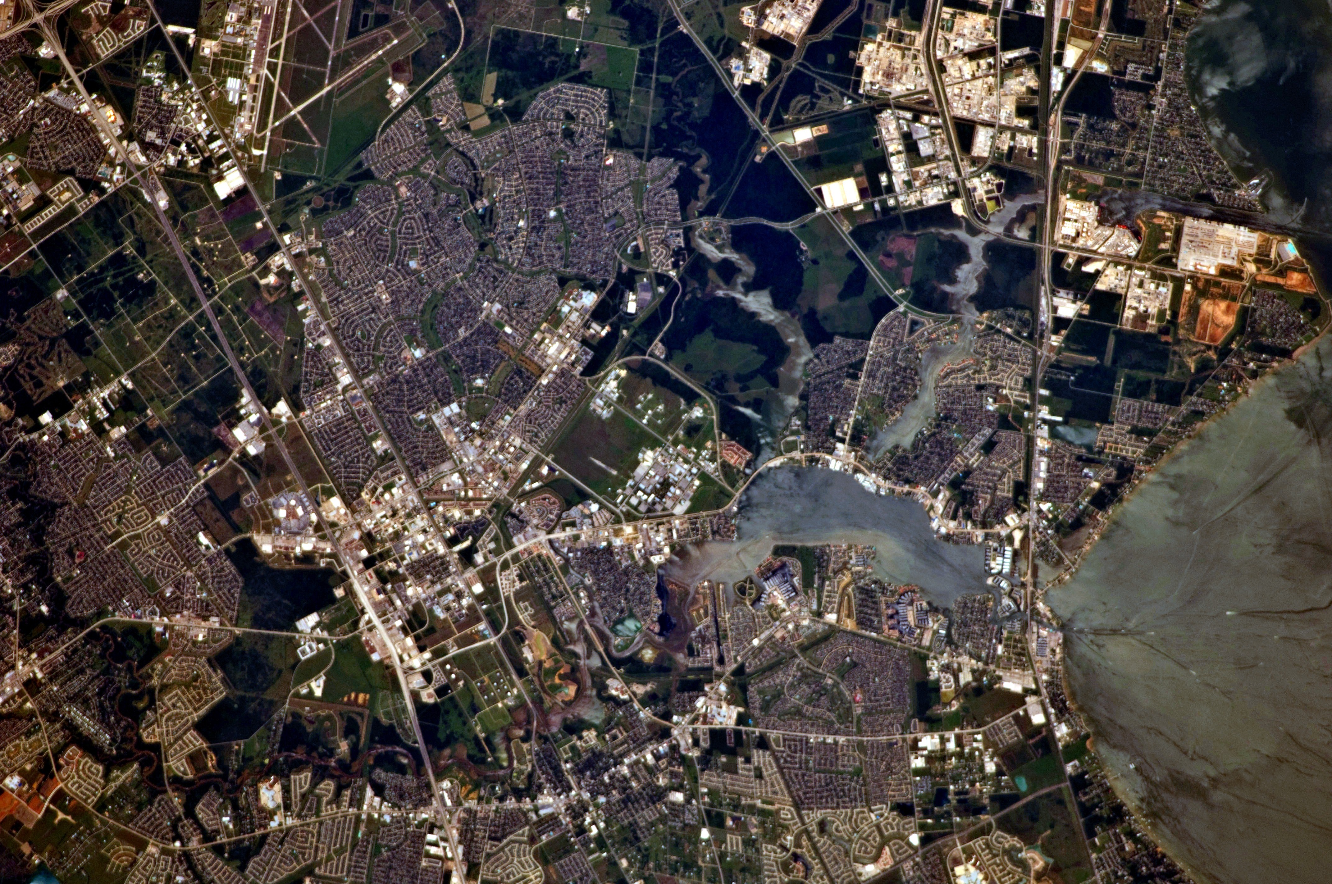
Thunderstorms trailing Tropical Depression Edouard still threaten flash flooding across parts of the Clear Lake area Wednesday, Sept. 2, even as the weakened storm moves inland.
A flood watch remains in effect through 7 p.m. Wednesday for Harris County, which includes Webster, Seabrook, Nassau Bay and parts of Friendswood, according to the Houston Chronicle. Galveston County, home to Clear Lake Shores, was dropped from the watch.
The National Weather Service placed the Clear Lake area under a Marginal Risk (Level 1 of 4) for excessive rainfall. That means isolated street flooding or ponding is possible under the strongest thunderstorms, CW39 reported. The heaviest risk sits well north and east: parts of the Piney Woods are under a Moderate Risk (Level 3 of 4), and a Slight Risk (Level 2 of 4) extends toward northern Harris County.
Edouard made landfall as a tropical storm near Johnson Bayou, Louisiana, at about 2:25 p.m. Tuesday, Sept. 1, with 60-mph winds, according to KPRC. It weakened to a tropical depression Tuesday night. All tropical storm warnings have been canceled.
The storm's trailing rain bands could still produce rainfall rates of 3 to 4 inches per hour, CW39 reported. Southeast Texas picked up 4 to 12 inches of rain in the 24 hours before Wednesday morning, according to KPRC.
The Clear Lake area is expected to see far less. Forecast guidance reported by KHOU shows about 1 to 2 inches of additional rain near Houston, with the highest amounts favoring northern and northeastern Harris County. Galveston County could see only about a tenth of an inch more through Wednesday.
Spotty to scattered rain may push from Huntsville to Pearland between about 2 p.m. and 9 p.m. Wednesday, KPRC reported.
The threat does not end at 7 p.m. The Weather Prediction Center expects another increase in rain late Wednesday night into early Thursday as Edouard's circulation lingers over the region, the Houston Chronicle reported. A few hours of heavy downpours Wednesday afternoon could drop 2 to 4 inches in some spots, creating new street flooding and problems in low-lying areas.
"Where those heavier rainfall totals occur, flash flooding will be possible," Jimmy Fowler, warning coordination meteorologist with the National Weather Service Houston/Galveston office, said in a Tuesday webinar.
Gov. Greg Abbott urged residents at an Aug. 31 press conference to stay off flooded roads. The state had activated its emergency operations center around the clock as of that date, along with 1,500 state-level personnel, rescue aircraft and swift-water rescue boats, according to Houston Public Media.
Galveston County's Office of Emergency Management said Tuesday that impacts in the county were expected to be limited to periods of rain, with 3 to 5 inches possible.
Rain chances decrease Thursday and Friday as high pressure rebuilds. Wednesday's high is forecast at 91 degrees, with heat index values between 98 and 103 degrees.
Residents should avoid driving through standing water and watch for rapidly rising creeks and bayous. To report flooding or downed trees, contact local police non-emergency lines.