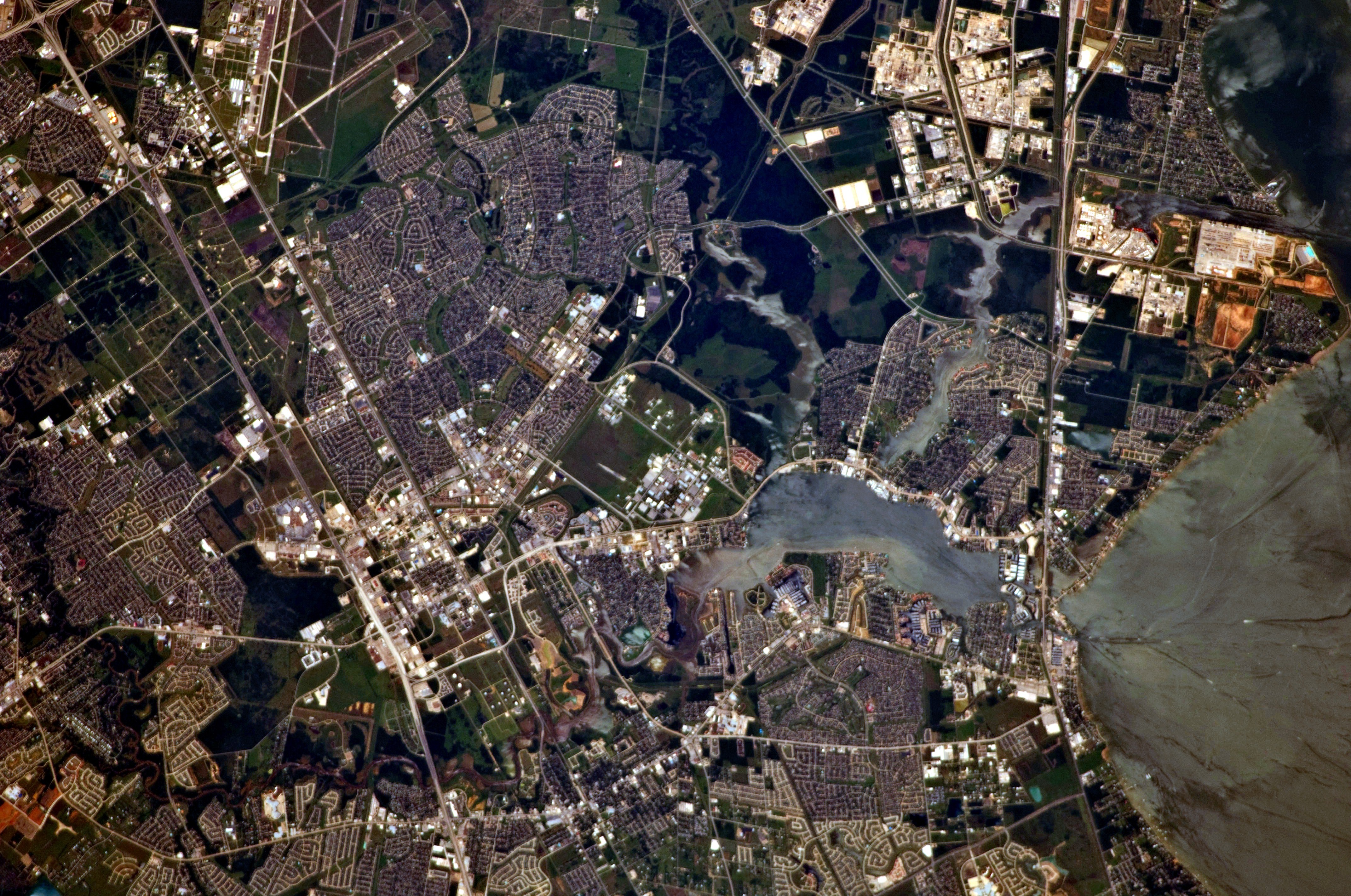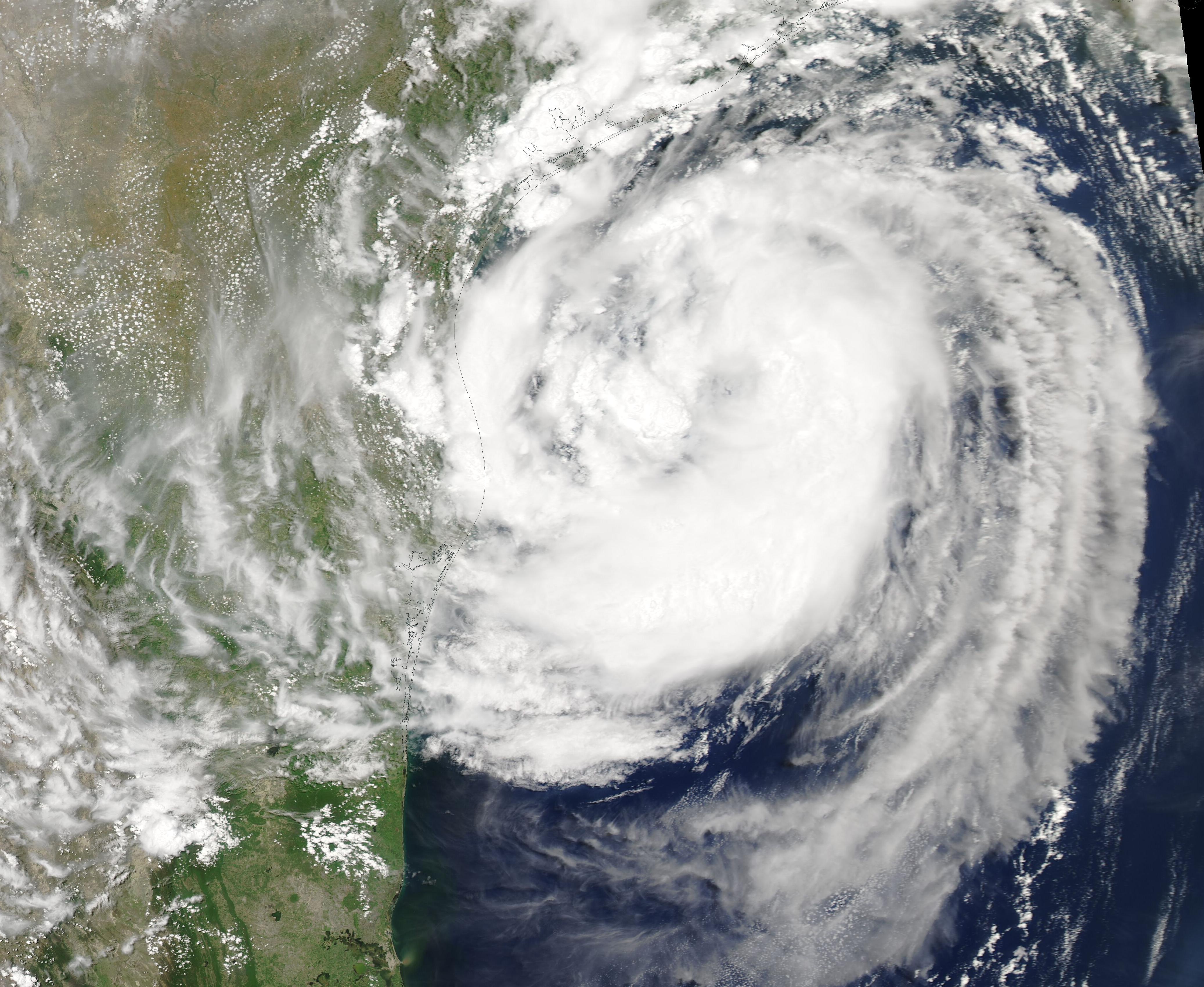
Tropical Storm Edouard is expected to make landfall along the upper Texas coast Tuesday afternoon, Sept. 1, putting Seabrook, Webster, Nassau Bay and Clear Lake Shores directly in the path of heavy rain and flash flooding.
The National Weather Service named those communities among the areas likely to see the greatest impacts, according to KHOU. Friendswood, which sits west of Interstate 45, faces a lower but still elevated flood risk.
The NWS issued a flood watch for Galveston County that was extended Tuesday to 7 p.m. Thursday, Sept. 3, 12 hours later than the original 7 a.m. expiration, according to KPRC 2 meteorologist Justin Stapleton on X.
Rainfall and flood risk
Matthew Moreland, meteorologist-in-charge at the NWS Houston/Galveston office, told the Galveston Daily News that most of Galveston County should expect 3 to 5 inches of rain. Bolivar Peninsula could see 6 to 9 inches. "The main threat is going to be heavy rain and flooding," Moreland said.
NWS Houston said on X that rainfall rates could exceed 3 to 4 inches per hour during the most intense bands.
Space City Weather issued a Stage 2 flood alert for areas along and east of I-45, covering Seabrook, Webster, Nassau Bay and Clear Lake Shores. Those communities could pick up 2 to 5 inches. Friendswood falls under a Stage 1 alert, with projected accumulations of 0.5 to 2 inches.
KHOU also reported an isolated tornado is possible in the Clear Lake area because of the spin in the atmosphere. Wind gusts in the 20s to 35 mph are expected across the region Tuesday.
Storm details
The National Hurricane Center upgraded the system from Tropical Depression 5 on Monday evening, Aug. 31, making Edouard the fifth named storm of the 2026 Atlantic hurricane season. As of 7 p.m. Monday, the storm had maximum sustained winds of 40 mph and was moving west-northwest at 6 mph toward the Jefferson County coast south of Beaumont.
KPRC 2 meteorologist Rachel Briers forecast Edouard could reach 65 mph at landfall early Tuesday afternoon. A hurricane watch was in effect from High Island, Texas, to Cameron, Louisiana, USA Today reported.
Galveston County Emergency Management Coordinator Jesse Ryholt told KPRC 2 that major impacts were not expected for most of Galveston County. Storm surge, if any, would likely stay below two feet.
Schools and emergency response
Clear Lake ISD and Friendswood ISD were monitoring the weather but had not canceled classes for Tuesday as of Monday evening, the Galveston Daily News reported. Multiple districts farther east did close, including Galveston ISD, Goose Creek CISD and Humble ISD, according to the Houston Chronicle.
CenterPoint Energy activated its Emergency Operations Center on Monday and mobilized crews across Greater Houston, inspecting power lines and trimming trees, Houston Public Media reported. Gov. Greg Abbott activated the state's emergency operations center around the clock, deploying 20 agencies and 1,500 personnel along with rescue aircraft and swift-water boats.
The heaviest rain is expected Tuesday night into Wednesday morning. The flood watch runs through 7 p.m. Wednesday, and the system is expected to move out of the area by Wednesday midday.