The Gulf Coast Protection District is testing a new way to watch the upper Texas coast erode in real time.
The GCPD Board of Directors on Wednesday, Oct. 14, authorized staff to negotiate an agreement with Surfline Coastal Intelligence for a coastal camera monitoring project, according to a district announcement. The 12-month pilot will start with a single camera at no cost to the district. The GCPD, headquartered in the Clear Lake area, oversees the Galveston Bay Barrier System that shields Nassau Bay, Seabrook and Clear Lake Shores from Gulf storm surge.
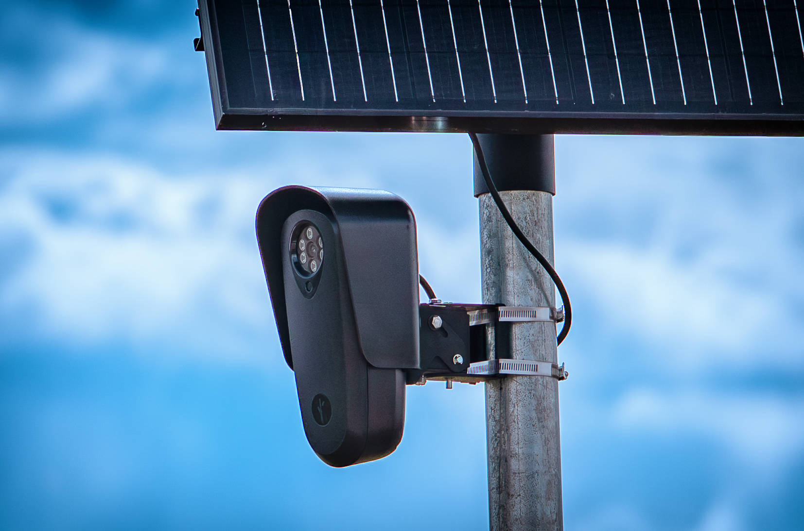
The camera will photograph the beach and surf daily. Software will then analyze the images to track shoreline position, beach width, wave height and post-storm changes. That data could supplement the periodic field surveys crews conduct now, which capture conditions only on the day of the visit.
"Our beaches are always changing, and the better we understand those changes, the better decisions we can make about protecting the coast," said Rob Thomas, chief program manager of the Gulf Coast Protection District. "This project lets us test whether daily camera data can give us a clearer, more affordable picture than we have today."
The district is not committed beyond the first year. Any expansion would require a separate board vote.
The project feeds into the broader Coastal Texas Project and its Beaches and Dunes feature, part of the barrier system known locally as the "Ike Dike." The Galveston Bay Barrier System accounts for 85% of the $35 billion authorized cost of the Coastal Texas Project, according to a GCPD press release. Texas has committed $950 million toward the district's projects.
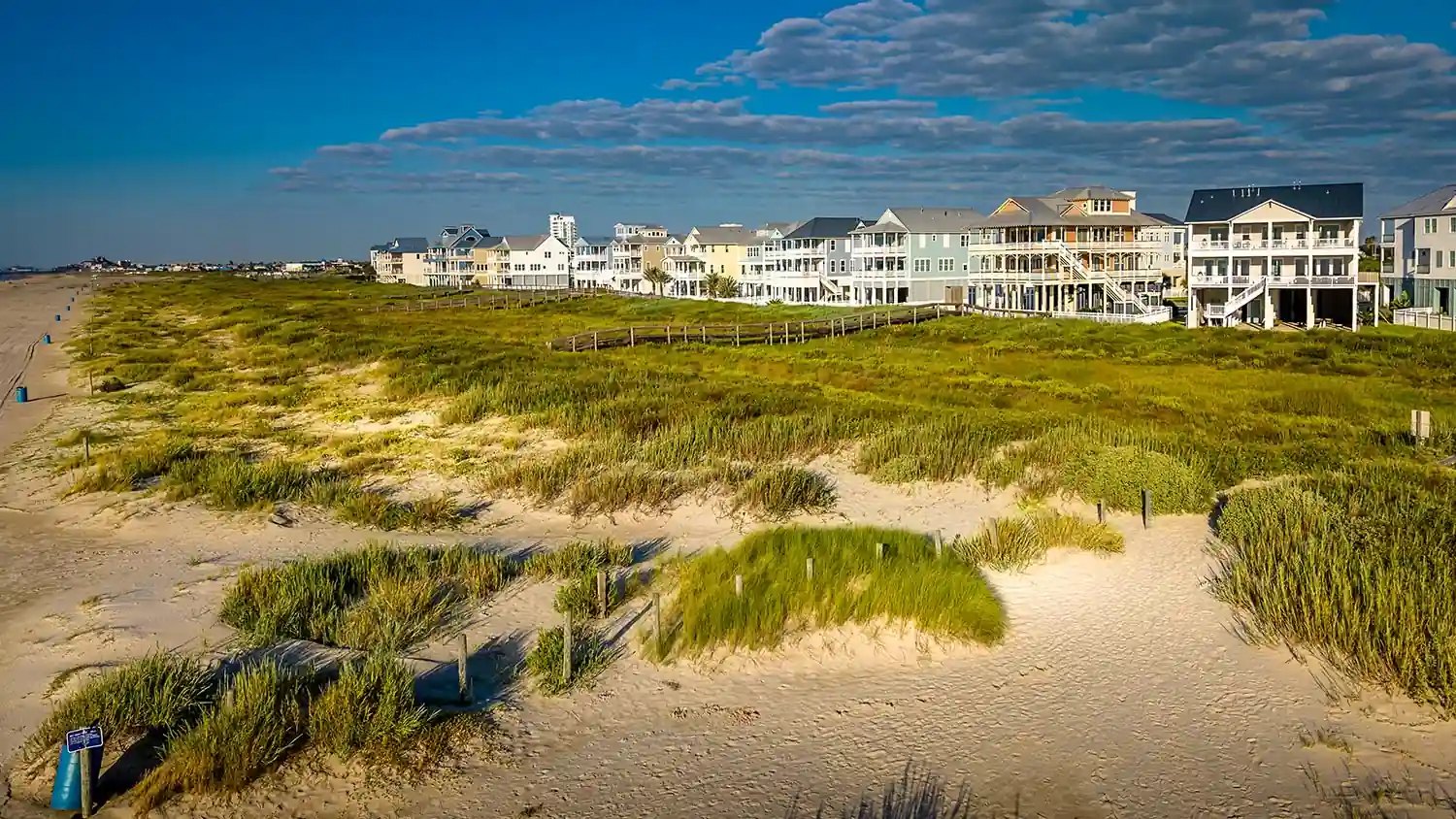
The upper Texas coast is losing ground fast. Researchers at the University of Texas Bureau of Economic Geology found shorelines east of the Colorado River retreating at about 5.3 feet per year, compared with about 3.3 feet per year on the central and lower coast, according to the GCPD. The Texas General Land Office puts the statewide average at 4.1 feet per year across the 367-mile Texas coast, with some locations losing more than 30 feet annually.
The Beaches and Dunes component covers 43 miles of shoreline: 25 miles along Bolivar Peninsula and 18 miles along Galveston Island west of the existing Seawall. The plan calls for a double-dune system built with roughly 40 million cubic yards of sand. That feature is in engineering design, though no construction start date has been set.
The district said it plans to share camera data with the U.S. Army Corps of Engineers, the Texas General Land Office and Texas A&M University to support coastal research. A long-term goal is making the data available to the public so residents can track how their coastline changes.
Surfline Coastal Intelligence, a division of Huntington Beach, California-based Surfline/Wavetrak Inc., provides camera-based coastal monitoring systems. District staff are negotiating final terms with the company. Once the agreement is signed, the district will select a location for the first camera.
GCPD board meetings are generally held on the second Wednesday of each month at 10 a.m. Central time.